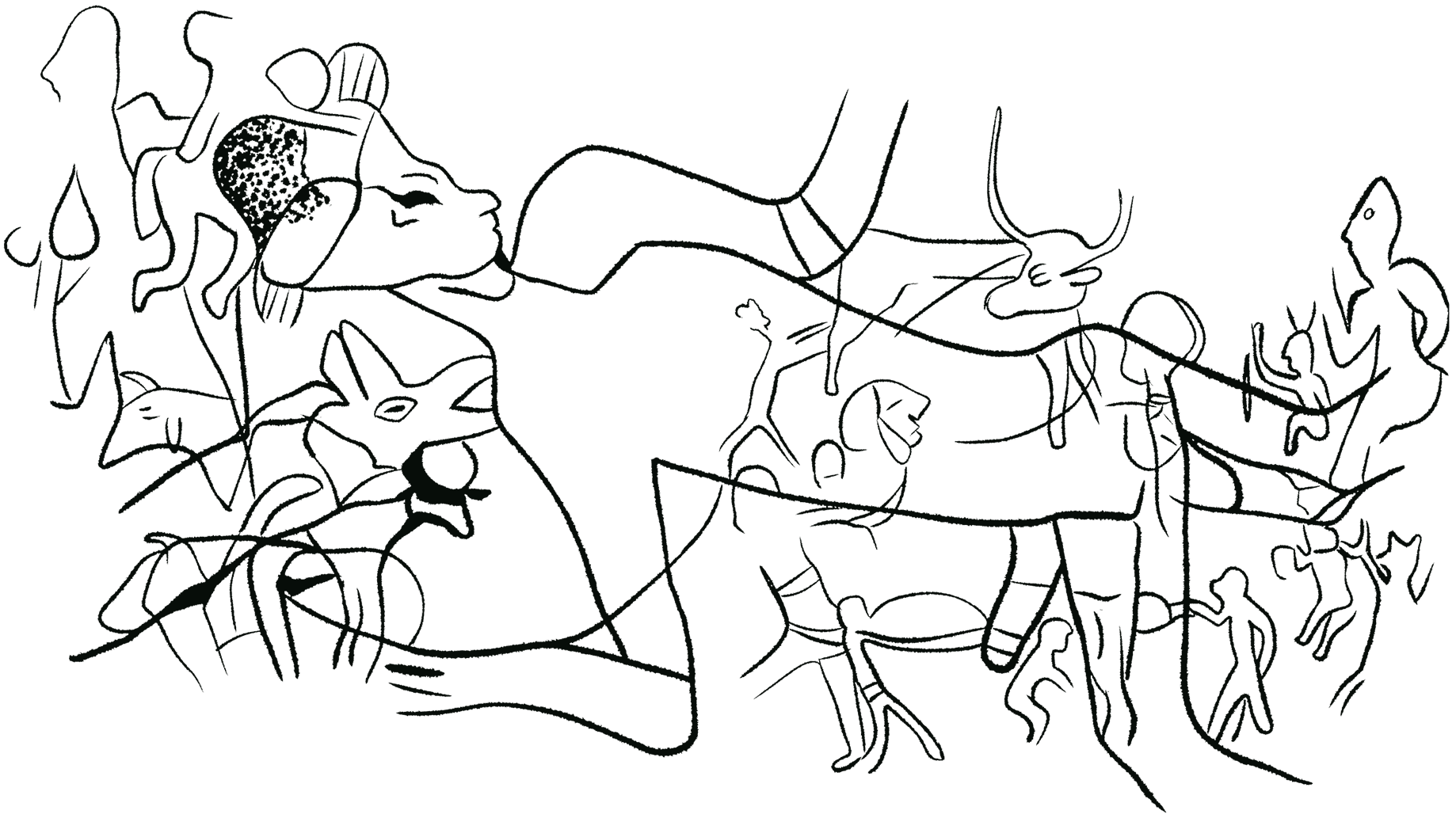
© Shefa Salem
The Messak Plateau represents the northern and western edges of the Murzuq sedimentary basin. This plateau is located between latitudes 24degrees and 26degrees, covering an area of 10,000 square kilometres. The plateau is composed of continental siliciclastic sandstone, sloping gently south-westward beneath the sands of the Murzuq Basin. The plateau is characterized by water accumulation, forming large underground reservoirs during the wetter periods of the Tertiary and Quaternary. The plateau is bordered to the south by the Murzuq Dahan, to the north by Wadi Irawan which runs along the Ubari Dahan, and to the north by an impregnable escarpment from which the plateau rises about 200 meters.
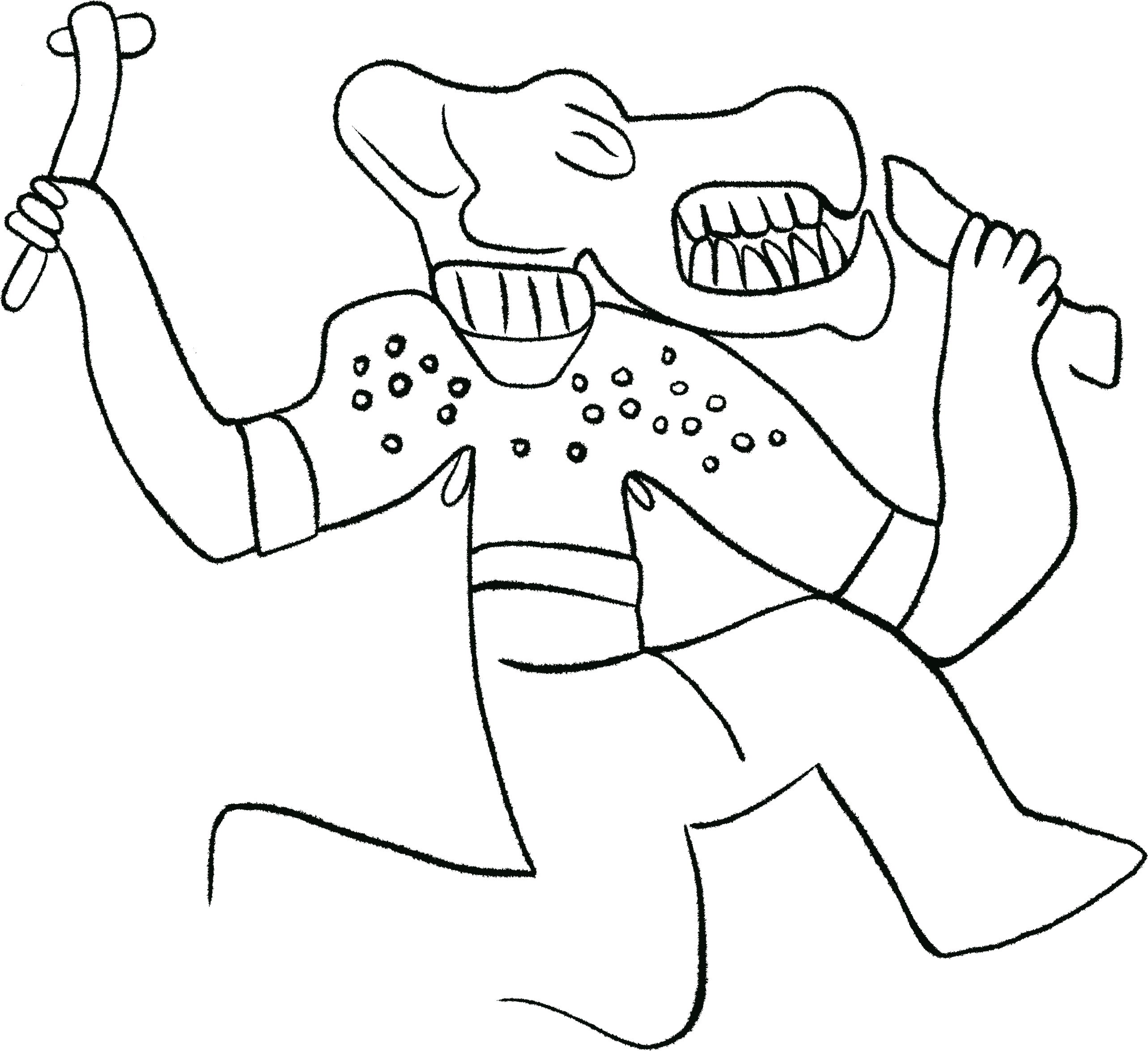
© Shefa Salem
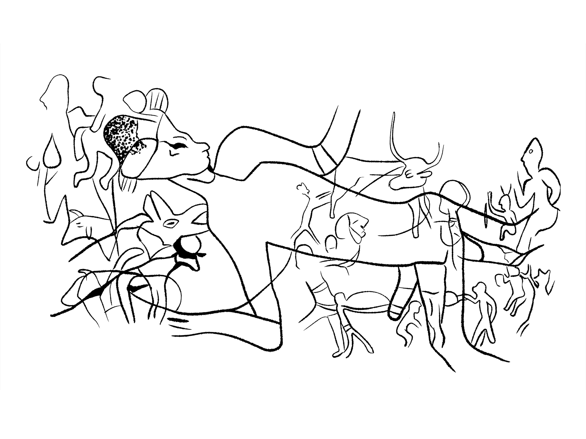
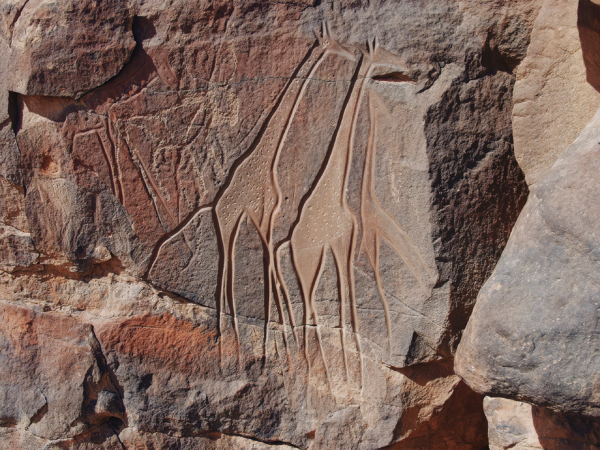
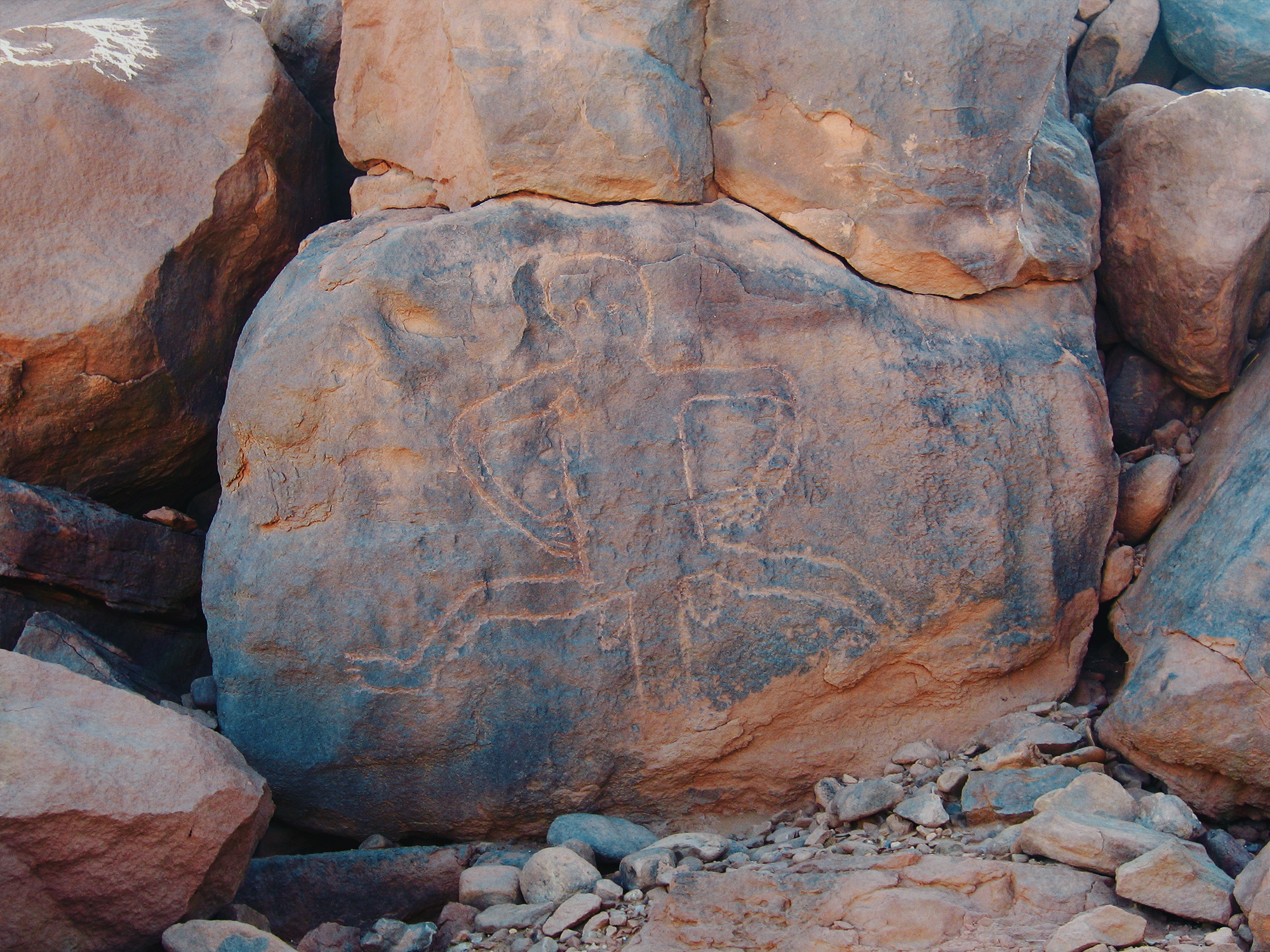
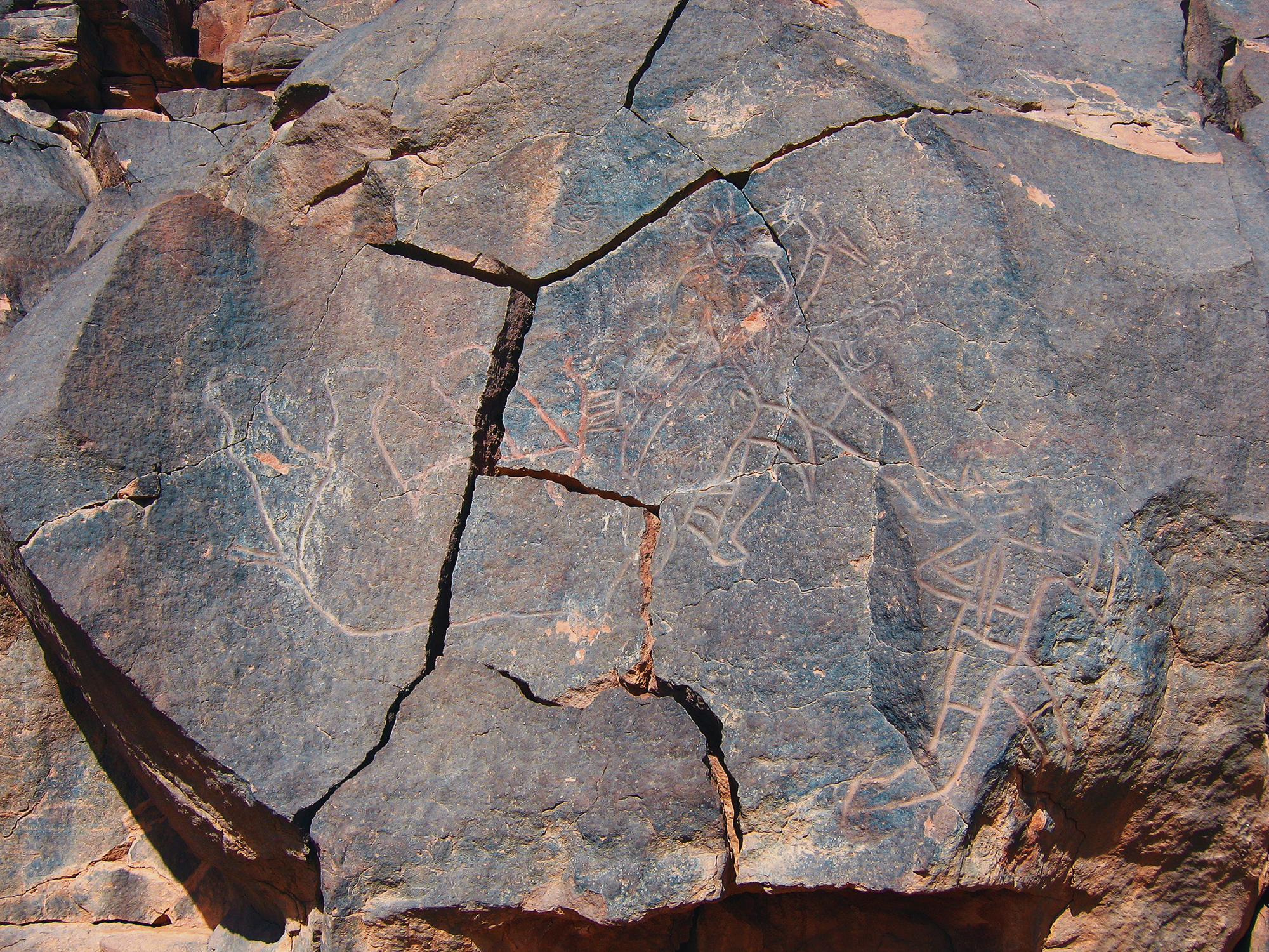
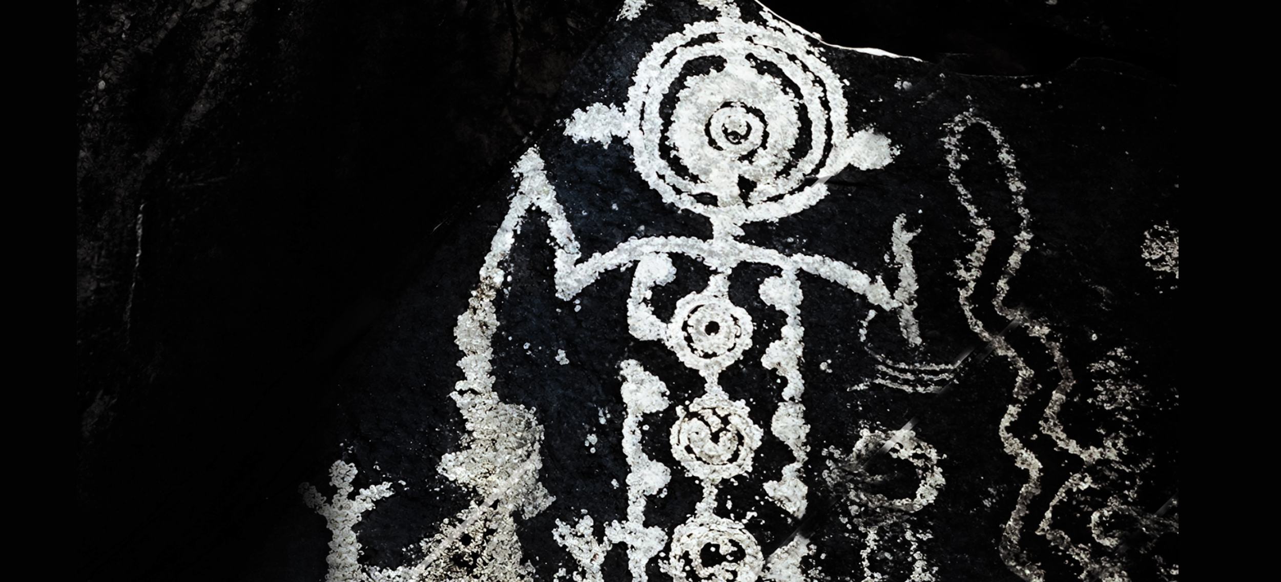
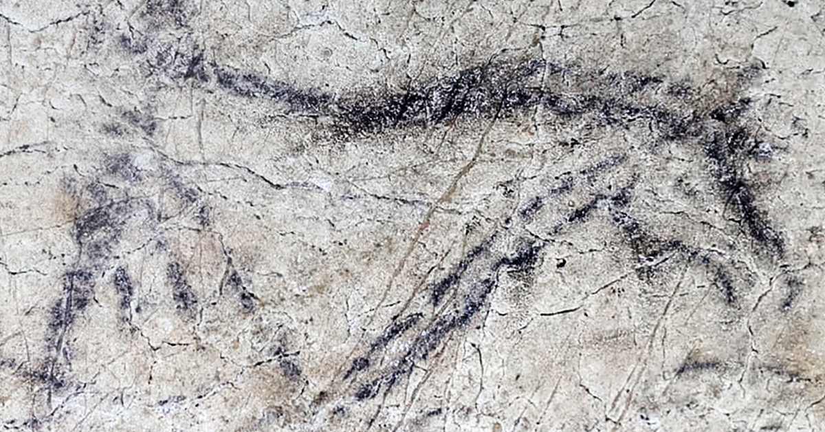
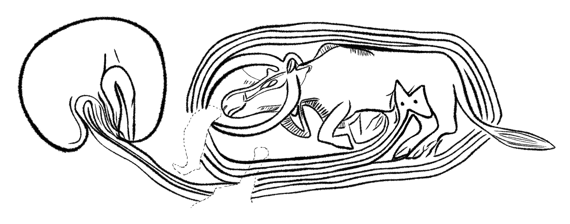
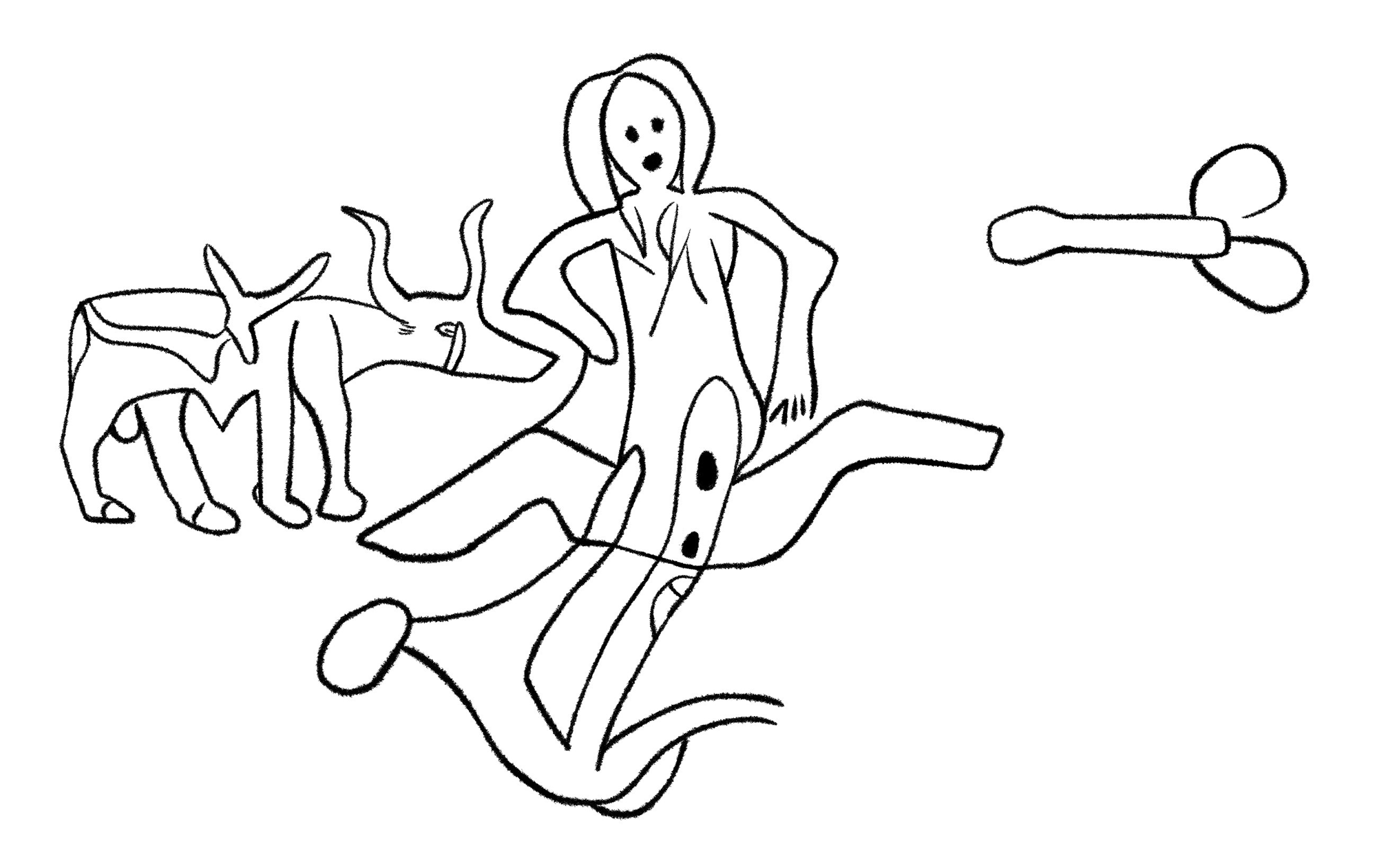
The Messak Plateau is one of the
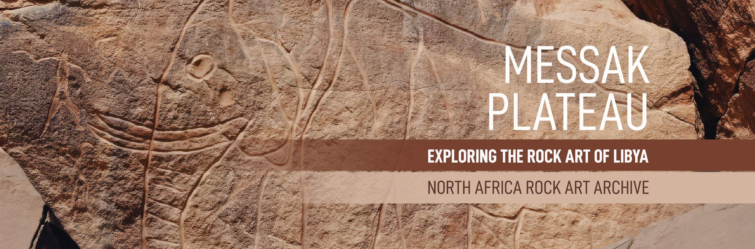
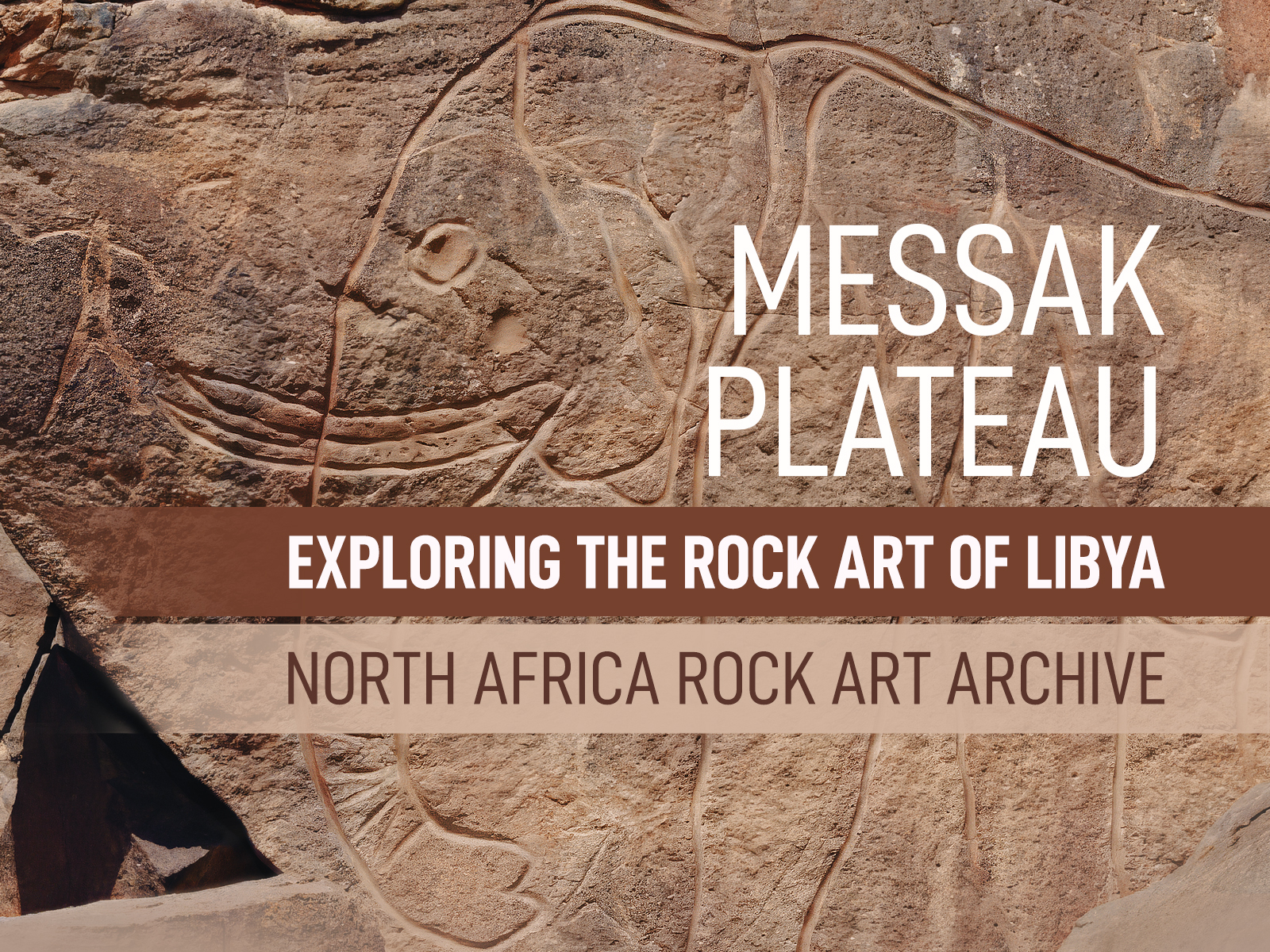
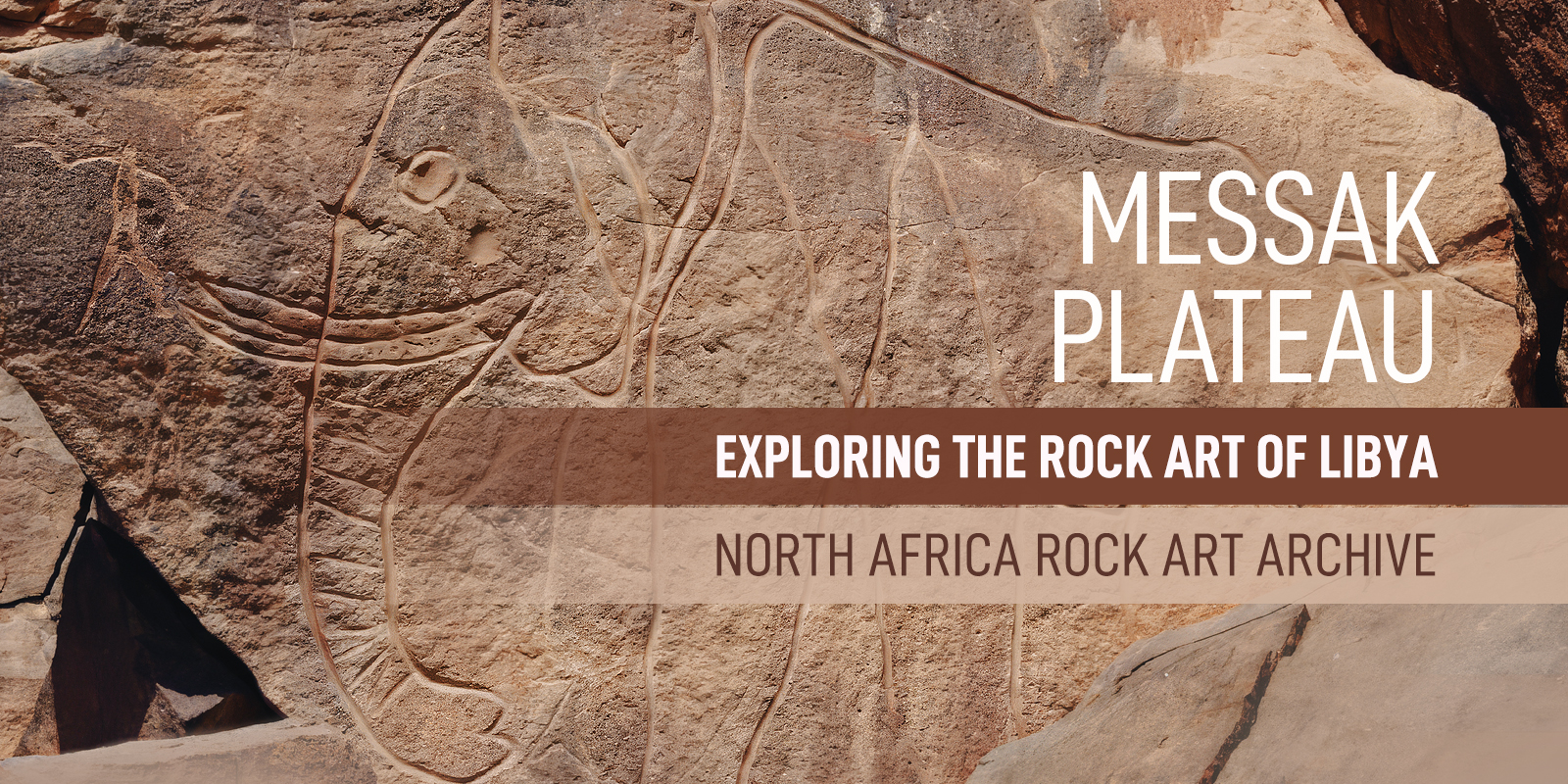
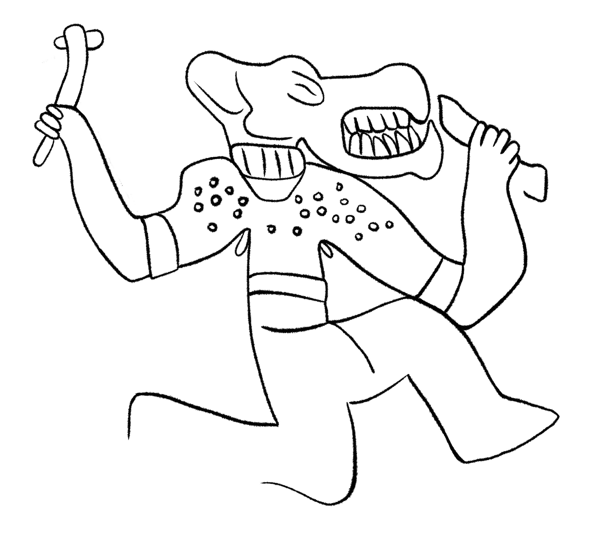
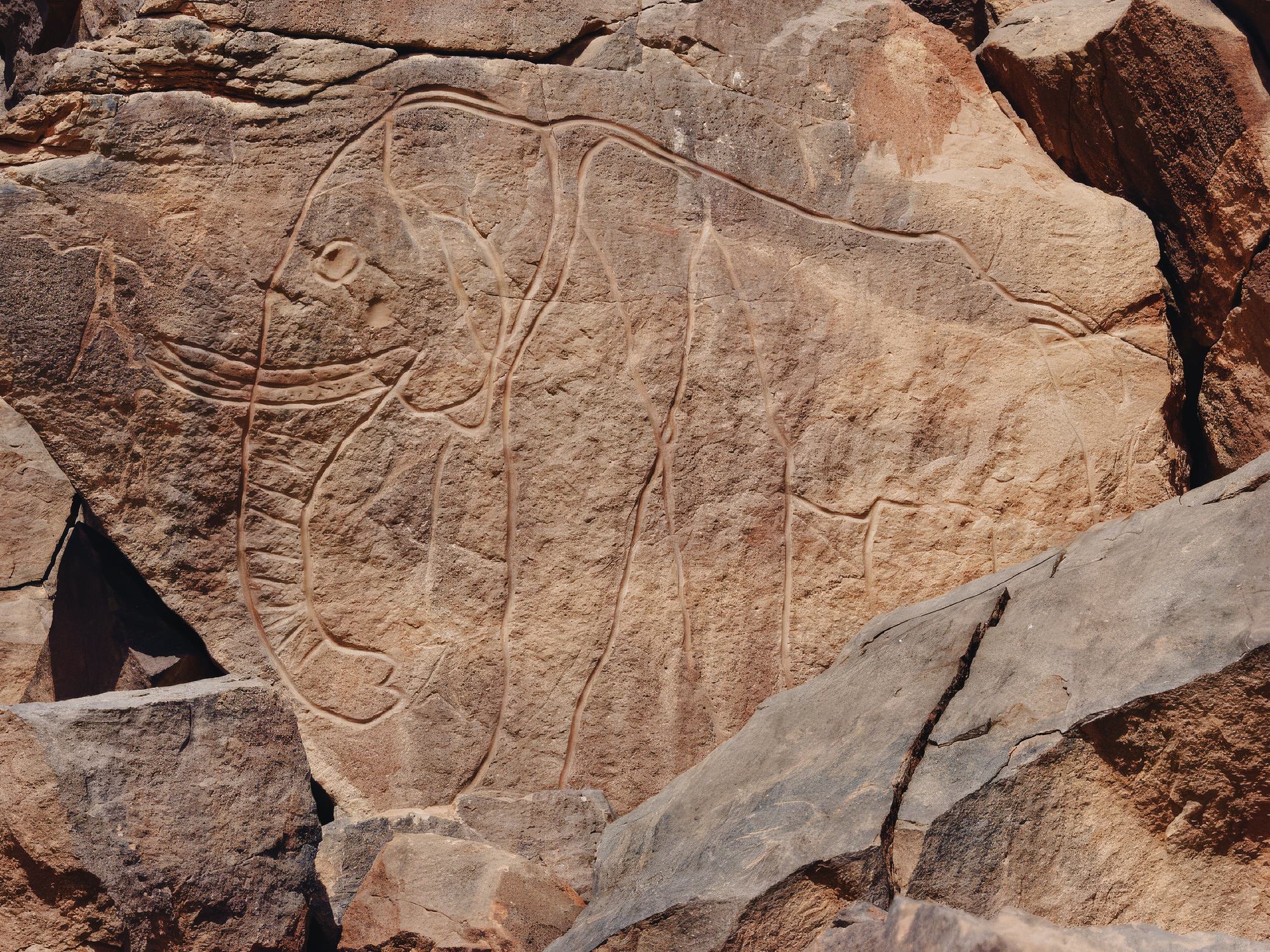
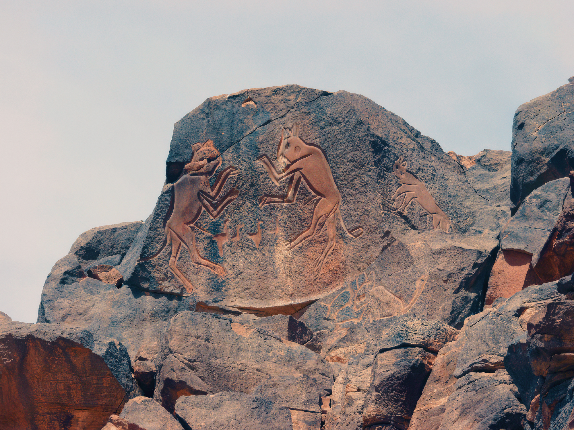
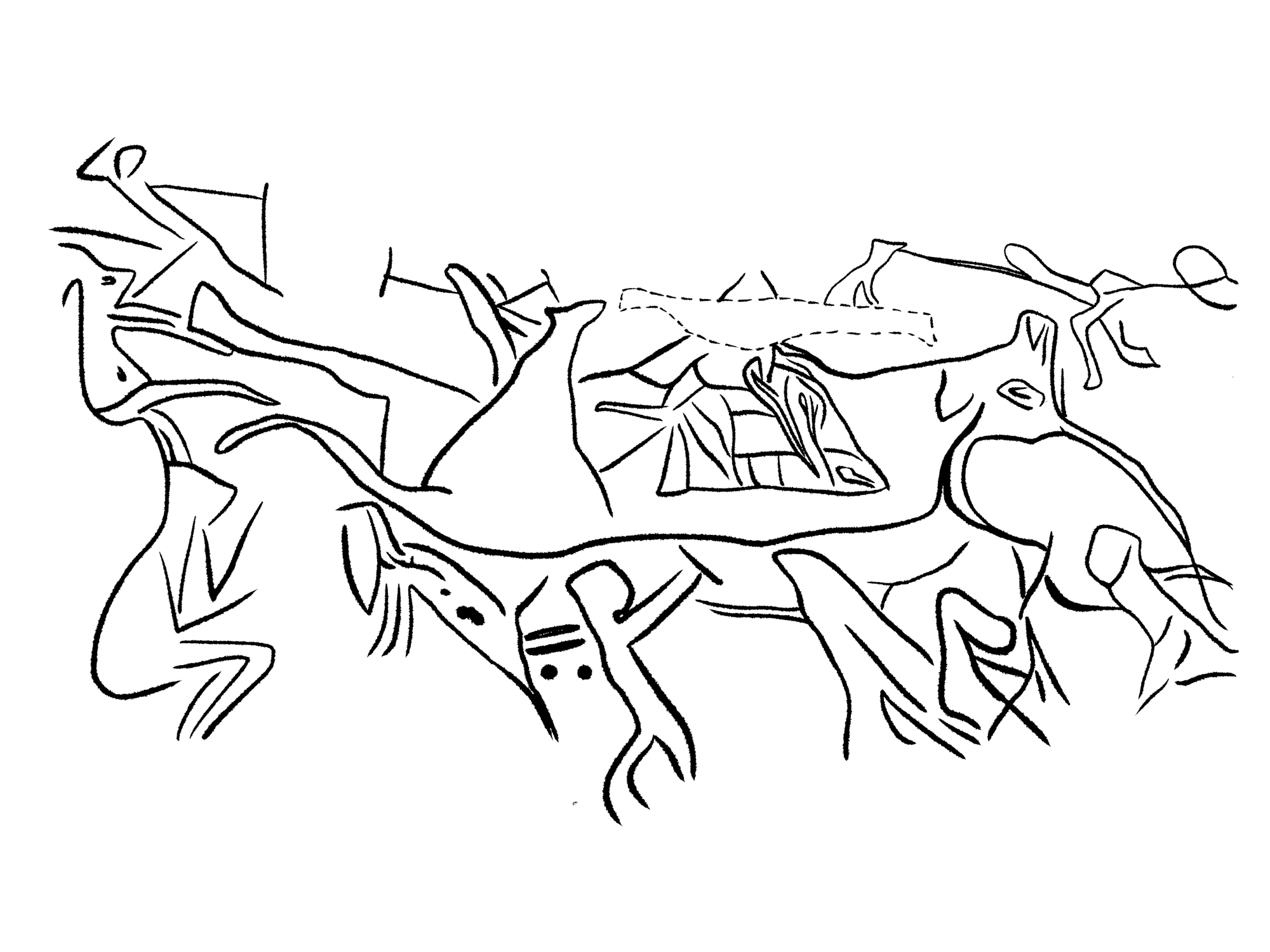
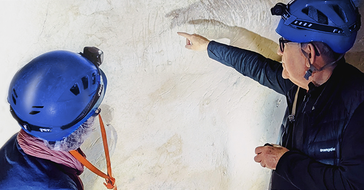
richest sites in the world in terms of rock engravings, which remained largely unknown. It was discovered by independent travellers and researchers who, upon delving into the Messak massif, found a great legacy of
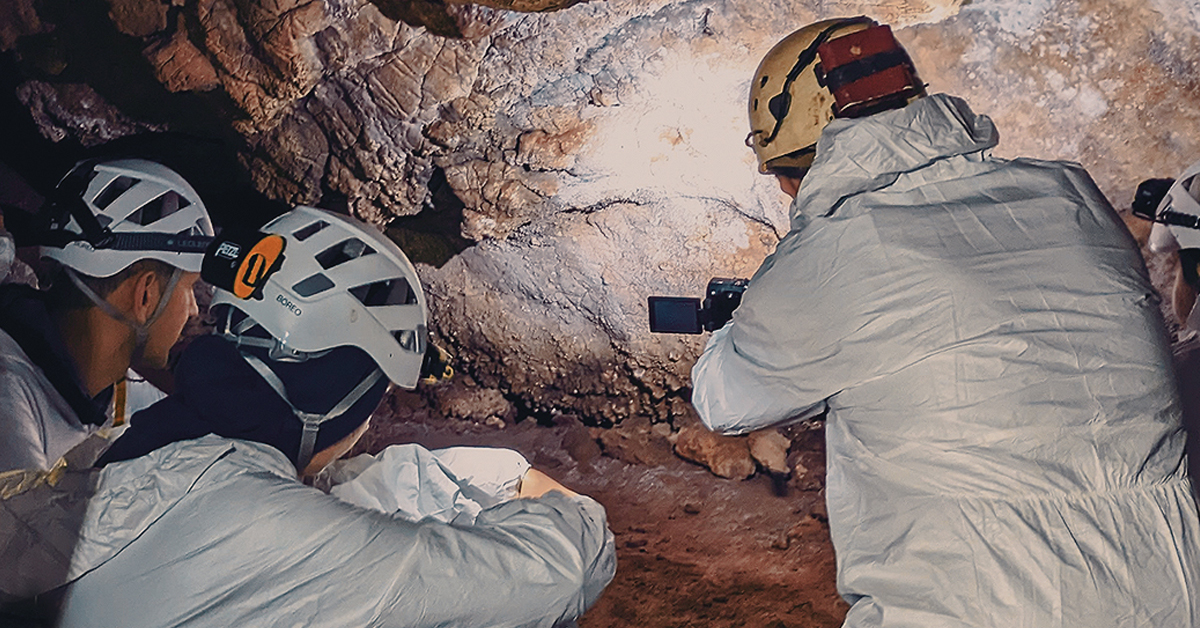
high-quality rock art. G. Jacquet discovered many masterpieces, and anthropologist Jelinek conducted his detailed study of Mektandoush, Tilzigen, and Tin Ballal. Subsequently, A.Castiglioni and A.Negro published original works from Messak. Starting in 1984, A. and A. M. Van Albada surveyed and mapped the entire northern part of the plateau, while Lutz drew the valleys in the central region of the plateau. Later, Gautier and Le Quellec surveyed important sites in the southwestern part of the plateau.
Messak Plateau Rock Art
Libya Rock Art Links
Bradshaw Foundation